Facility Intelligence
360° captures, asset detection, LiDAR fusion, and floor plan mapping.
Explore Facility Intelligence
FIELD EVIDENCE + LEGACY DRAWINGS
ContextFormers extracts assets, text, geometry, and relationships from 360° captures, LiDAR, PDFs, and as-builts—then keeps every result connected to its evidence and review state.
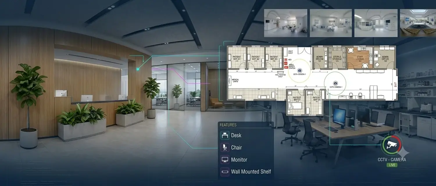
360° + LiDAR → spatial asset record
SEE IT IN ACTION
360° captures, asset detection, LiDAR fusion, and floor plan mapping.
Explore Facility IntelligenceInfrastructure data creation from legacy drawings, demonstrated on the platform.
Explore Infrastructure IntelligenceTWO WORKFLOWS. ONE STANDARD OF EVIDENCE.
AI accelerates the extraction. Confidence, provenance, and human review make the output usable.
01 · FACILITY INTELLIGENCE
Capture indoor spaces with 360° imagery and available LiDAR. Detect assets and signage, read labels, locate accepted records on the floor plan, and deliver attributed output for ArcGIS Indoors and facility systems.
DEPLOYED IN PRODUCTION
Licensed to geoConvergence under a signed teaming, joint-development, and licensing agreement, and running within its Scan2Twin workflow for ArcGIS Indoors.
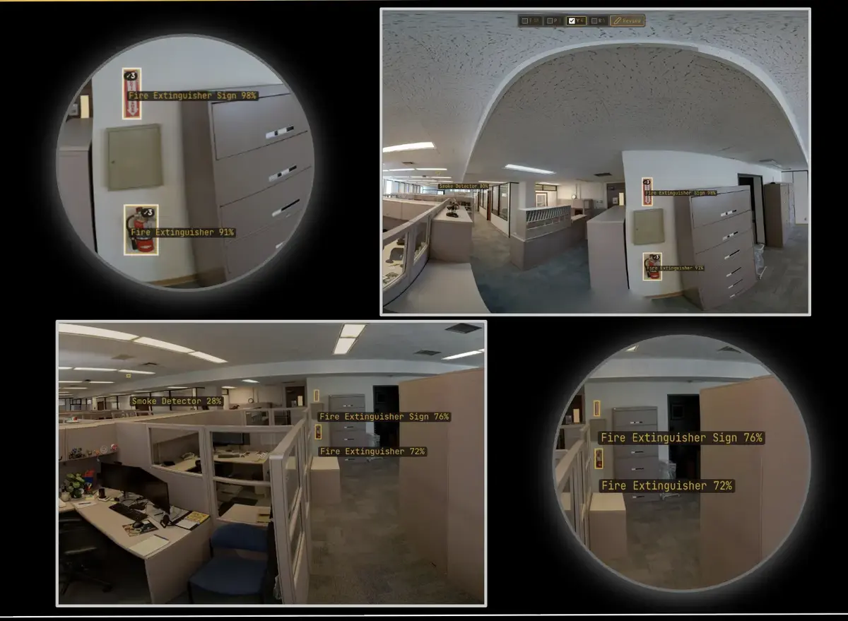
Detected asset + confidence + review state
02 · INFRASTRUCTURE INTELLIGENCE
Interpret each utility’s symbols and drawing conventions. Extract candidate assets, attributes, geometry, and connectivity; align them to known geography; and route exceptions for GIS and engineering review.
JOINT DEVELOPMENT IN PROGRESS
Joint ContextFormers and geoConvergence work is underway on infrastructure intelligence for utilities. Final schema, validation rules, and migration steps are configured with the utility and its implementation team.
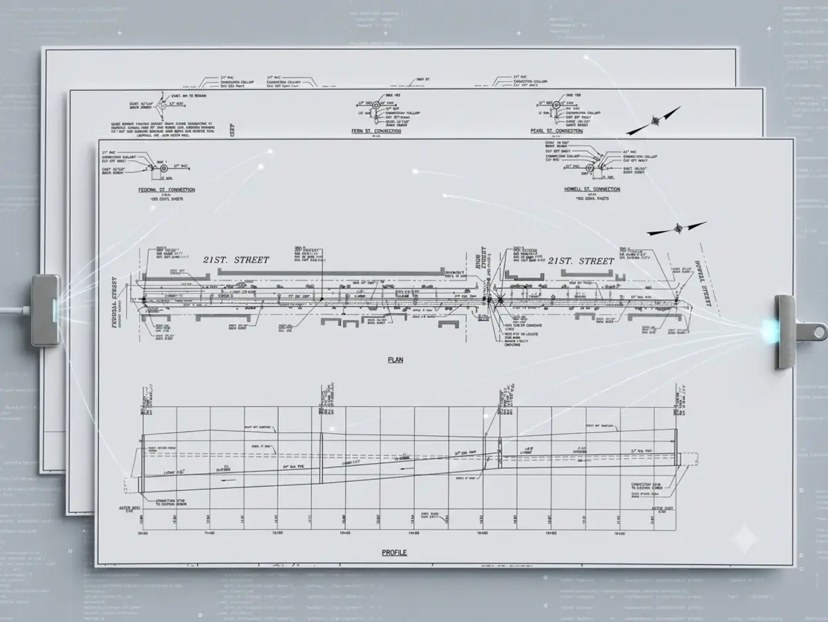
Source construction record before extraction
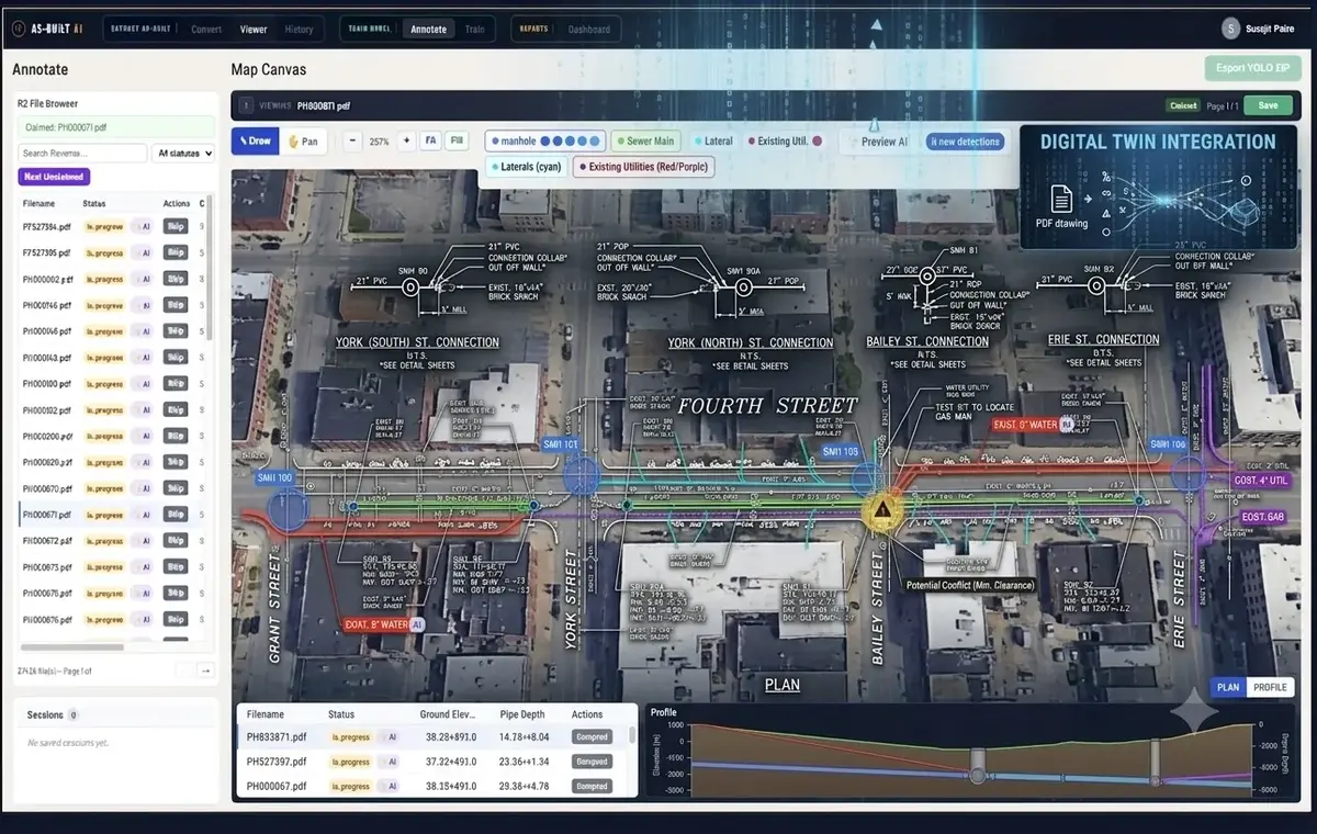
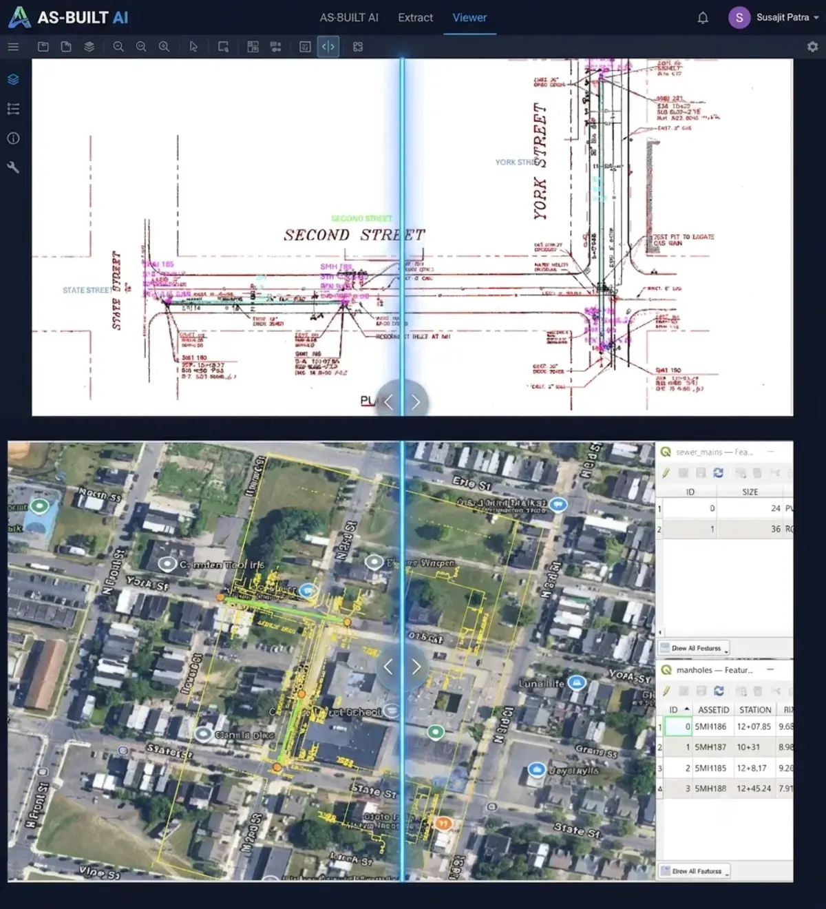
Candidate features → alignment → review
ONE OPERATING MODEL
Bring together the available images, video, audio, documents, scans, records, and spatial sources.
Detect, read, and locate the people, assets, text, geometry, events, and signals that matter.
Connect extracted signals to the customer's people, assets, places, terminology, relationships, and source evidence.
Retain confidence, compare evidence, apply privacy treatment, and route important results through human review.
Return accepted output to search, GIS, asset systems, APIs, and the workflows already in use.
Trust runs through every step: privacy, governance, provenance, confidence, and human review.
TRUST RUNS THROUGH EVERY STEP

PARTNER DELIVERY
A signed teaming, joint development, and licensing agreement with geoConvergence — an Esri Gold Business Partner and 20-year Cornerstone Partner. Facility intelligence — indoor asset detection from 360° scans and LiDAR — is licensed into their Scan2Twin pipeline and running in ArcGIS Indoors, with joint work underway on infrastructure intelligence for utilities.
START WITH EVIDENCE
We’ll identify what can be extracted, what needs review, and what an ArcGIS-ready output package should contain.
hello@contextformers.com