Design and field evidence diverge
Changes made during construction may not be reflected consistently across models, drawings, photos, and closeout packages.

AEC & CONSTRUCTION
Connect drawings, models, as-built packages, scans, field imagery, and project records into information that can support delivery and ongoing operations.
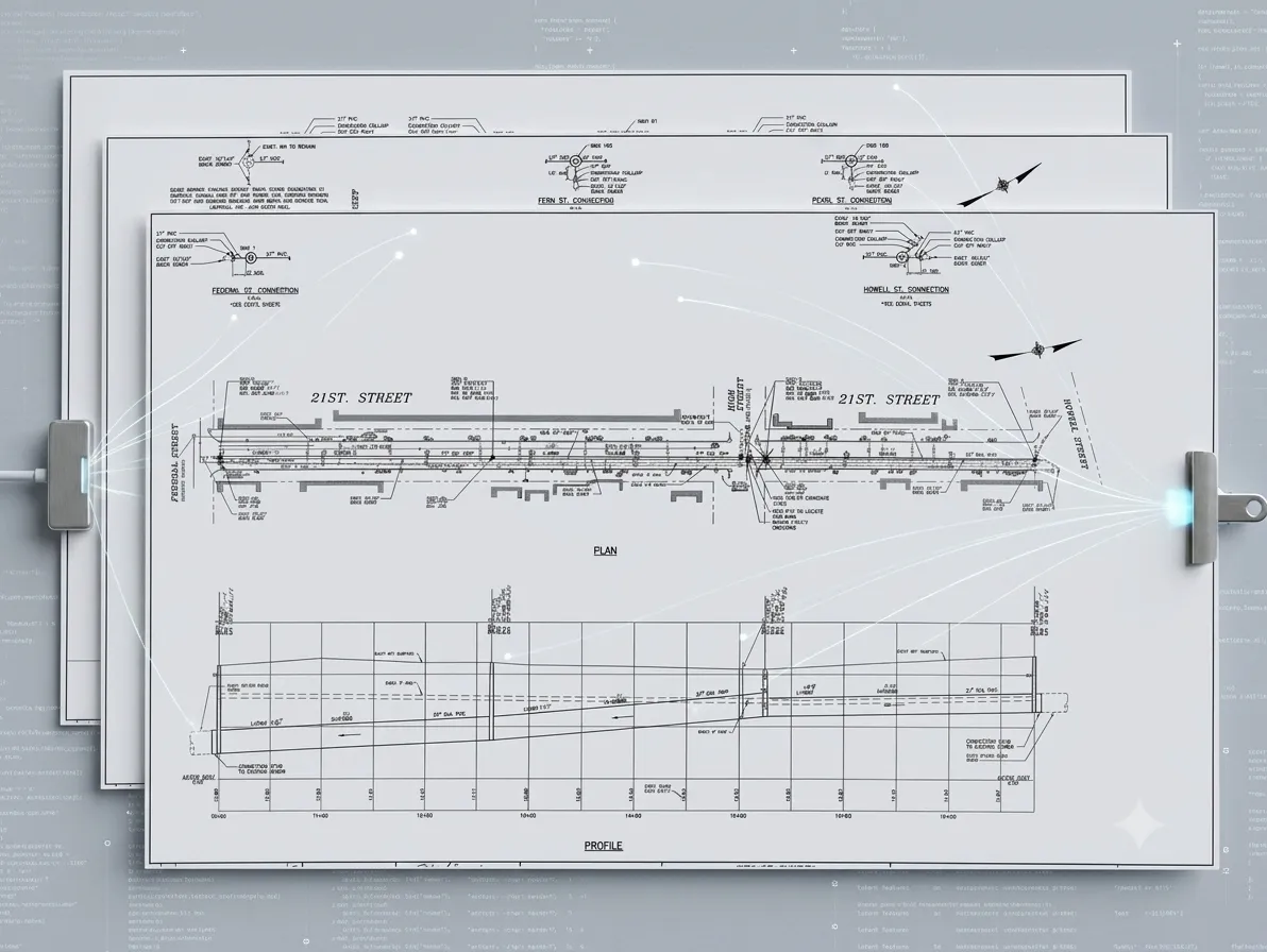
Reconciled design, construction, and observed information for delivery and operations
THE INDUSTRY PROBLEM
Changes made during construction may not be reflected consistently across models, drawings, photos, and closeout packages.
Owners receive files without a connected, reviewable record of the assets and conditions inside them.
Facility and infrastructure teams must reconstruct context after the project team has moved on.
WHERE IT CREATES VALUE
Compare planned information with scans, imagery, surveys, and observed conditions.
Connect accepted changes, asset attributes, and source evidence before project handoff.
Deliver structured facility or infrastructure information into the systems the owner will use next.
WHO IT SERVES
General contractors, AEC firms, facility owners
WHAT GOES IN. WHAT COMES OUT.
WHERE TO START
Start with the source material and the operational result, then scope privacy, review, and deployment through Trust & Privacy.
Construction drawings → GIS-ready data
Explore Infrastructure Intelligence360° indoor scans → asset maps
Explore Facility IntelligenceSource evidence, confidence, review, privacy treatment, and engagement-defined deployment controls.
Explore Trust & PrivacyGET IN TOUCH
Bring a representative source sample and describe the operational record, decision, or workflow it must support.
Discuss your project handoff