Records span formats and decades
Current and historical information remains distributed across documents, imagery, archives, maps, and departmental systems.

GOVERNMENT & PUBLIC WORKS
Connect engineering records, drawings, permits, field evidence, public archives, and existing systems into reviewable information for public-service workflows.
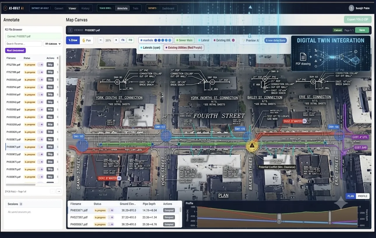
Reviewable operational data for planning, permitting, maintenance, and public service
THE INDUSTRY PROBLEM
Current and historical information remains distributed across documents, imagery, archives, maps, and departmental systems.
Planning, permitting, maintenance, records, and response workflows need traceability back to source.
Infrastructure teams and public-record teams require different applications, schemas, privacy controls, and review paths.
WHERE IT CREATES VALUE
Convert engineering and field evidence into reviewed infrastructure data for planning, maintenance, and permitting.
Find people, statements, events, locations, and visual context with source-linked results.
Make recorded video and imagery searchable by people, voices, text, scenes, locations, objects, and events while retaining source evidence and redaction controls.
Connect inspection footage, station or facility scans, drawings, and historical media to operational GIS and asset workflows.
WHO IT SERVES
Municipal, county, and state agencies
Police, sheriff, investigative, transit, and public-records teams
WHAT GOES IN. WHAT COMES OUT.
WHERE TO START
Start with the source material and the operational result, then scope privacy, review, and deployment through Trust & Privacy.
Construction drawings → GIS-ready data
Explore Infrastructure IntelligenceVideo archives → searchable moments
Explore Media IntelligenceSource evidence, confidence, review, privacy treatment, and engagement-defined deployment controls.
Explore Trust & PrivacyGET IN TOUCH
Bring a representative source sample and describe the operational record, decision, or workflow it must support.
Discuss your public-sector data